Course of Roman road 150, Burgess Hill
Introduction
The photograph on this page of Course of Roman road 150, Burgess Hill by Robin Webster as part of the Geograph project.
The Geograph project started in 2005 with the aim of publishing, organising and preserving representative images for every square kilometre of Great Britain, Ireland and the Isle of Man.

There are currently over 7.5m images from over 14,400 individuals and you can help contribute to the project by visiting https://www.geograph.org.uk
Course of Roman road 150, Burgess Hill
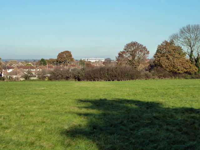
Image: © Robin Webster Taken: 26 Nov 2010
Margery's road 150 passed through the viewpoint and just to the left of the large white building. In the near field there are signs on aerial photographs, confirmed by a field inspection, of a series of damp lines parallel to the road course. Most of these are presumably post-Roman drainage, but two very close to the road course look rather different. It would require considerable imagination to detect a definite aggar between these parallel depressions.
Images are licensed for reuse under creativecommons.org/licenses/by-sa/2.0
Image Location
Latitude
50.945351
Longitude
-0.139633