Swims and Far Bank End
Introduction
The photograph on this page of Swims and Far Bank End by John Aspden as part of the Geograph project.
The Geograph project started in 2005 with the aim of publishing, organising and preserving representative images for every square kilometre of Great Britain, Ireland and the Isle of Man.

There are currently over 7.5m images from over 14,400 individuals and you can help contribute to the project by visiting https://www.geograph.org.uk
Swims and Far Bank End
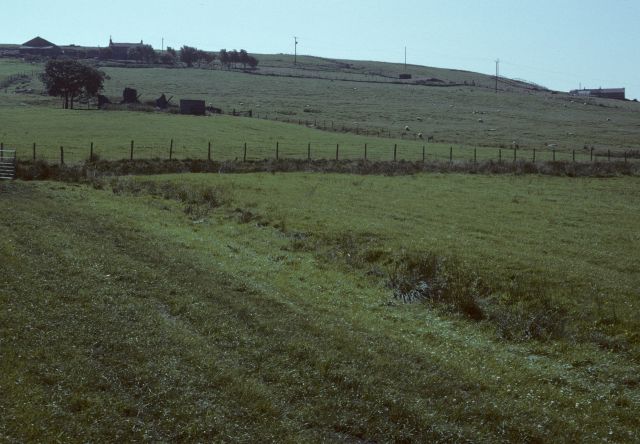
Image: © John Aspden Taken: Unknown
The ruins of Swims (inhabited until the late 1950s) are on the left. Behind, up the hill, is Far Bank End Farm. On the right hand edge is Middle Bank End Farm.
Images are licensed for reuse under creativecommons.org/licenses/by-sa/2.0
Image Location
Latitude
53.717592
Longitude
-2.229679