Footpath, Manor Park
Introduction
The photograph on this page of Footpath, Manor Park by Derek Harper as part of the Geograph project.
The Geograph project started in 2005 with the aim of publishing, organising and preserving representative images for every square kilometre of Great Britain, Ireland and the Isle of Man.

There are currently over 7.5m images from over 14,400 individuals and you can help contribute to the project by visiting https://www.geograph.org.uk
Footpath, Manor Park
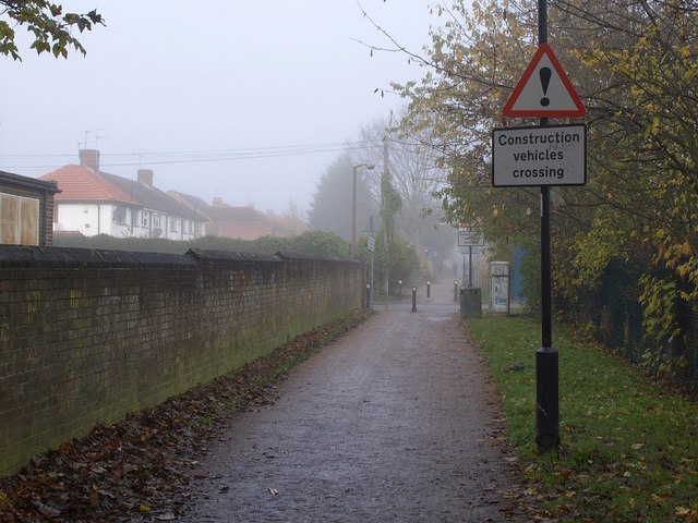
Image: © Derek Harper Taken: 19 Nov 2010
The path, seen here in fog, runs between residential cul-de-sacs on the left and schools and their grounds on the right, although these are about to be replaced by the estates of Manor Park, coming up on the right. The construction work is taking place at Baylis Court School.
Images are licensed for reuse under creativecommons.org/licenses/by-sa/2.0
Image Location
Latitude
51.525882
Longitude
-0.609804