Cae-madog seen from path to Carn Caws
Introduction
The photograph on this page of Cae-madog seen from path to Carn Caws by John Brightley as part of the Geograph project.
The Geograph project started in 2005 with the aim of publishing, organising and preserving representative images for every square kilometre of Great Britain, Ireland and the Isle of Man.

There are currently over 7.5m images from over 14,400 individuals and you can help contribute to the project by visiting https://www.geograph.org.uk
Cae-madog seen from path to Carn Caws
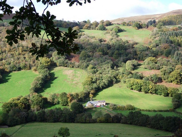
Image: © John Brightley Taken: 24 Oct 2010
A farmhouse nestling in the secluded Dyffryn Crawnon valley. The lower slopes of Tor y Foel can be seen in the background.
Images are licensed for reuse under creativecommons.org/licenses/by-sa/2.0
Image Location
Latitude
51.853128
Longitude
-3.283716