View from NCN 76 near Stirling
Introduction
The photograph on this page of View from NCN 76 near Stirling by William Starkey as part of the Geograph project.
The Geograph project started in 2005 with the aim of publishing, organising and preserving representative images for every square kilometre of Great Britain, Ireland and the Isle of Man.

There are currently over 7.5m images from over 14,400 individuals and you can help contribute to the project by visiting https://www.geograph.org.uk
View from NCN 76 near Stirling
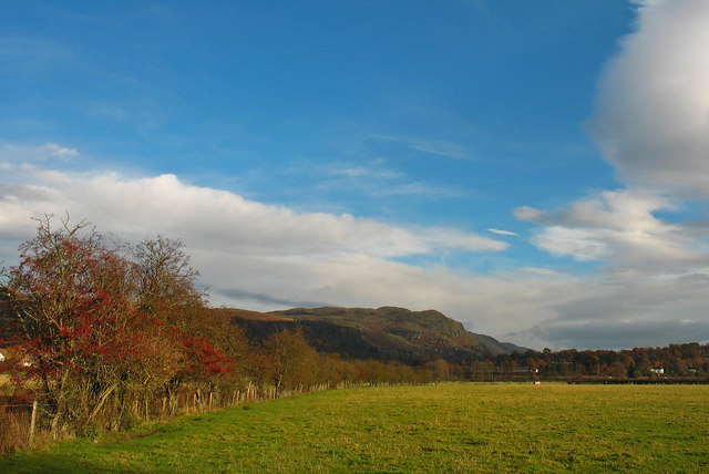
Image: © William Starkey Taken: 24 Nov 2010
A view taken from cycle route NCN76 towards the Ochil Hills, with Dumyat and Castle Law visible in the distance.
Images are licensed for reuse under creativecommons.org/licenses/by-sa/2.0
Image Location
Latitude
56.143393
Longitude
-3.942068