Road junction in Braunstone
Introduction
The photograph on this page of Road junction in Braunstone by Kate Jewell as part of the Geograph project.
The Geograph project started in 2005 with the aim of publishing, organising and preserving representative images for every square kilometre of Great Britain, Ireland and the Isle of Man.

There are currently over 7.5m images from over 14,400 individuals and you can help contribute to the project by visiting https://www.geograph.org.uk
Road junction in Braunstone
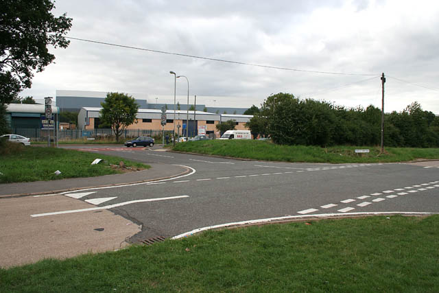
Image: © Kate Jewell Taken: 10 Aug 2006
Hockley Farm Road in the foreground and the A47, Hinkley Road beyond, linked by Avery Hill which continues steeply upwards behind the viewpoint to the PDSA hospital.
Images are licensed for reuse under creativecommons.org/licenses/by-sa/2.0
Image Location


Leaflet Map data © OpenStreetMap
Latitude
52.629756
Longitude
-1.194454