View to the swingbridge
Introduction
The photograph on this page of View to the swingbridge by Bill Nicholls as part of the Geograph project.
The Geograph project started in 2005 with the aim of publishing, organising and preserving representative images for every square kilometre of Great Britain, Ireland and the Isle of Man.

There are currently over 7.5m images from over 14,400 individuals and you can help contribute to the project by visiting https://www.geograph.org.uk
View to the swingbridge
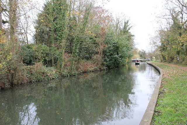
Image: © Bill Nicholls Taken: 21 Nov 2010
The pillbox is to the left and shows the area it would have covered in the war, bear in mind the trees and shrubs would not have been there back then.
Images are licensed for reuse under creativecommons.org/licenses/by-sa/2.0
Image Location
Latitude
51.429193
Longitude
-1.071031