The Castle Island Road, Strangford Lough
Introduction
The photograph on this page of The Castle Island Road, Strangford Lough by Albert Bridge as part of the Geograph project.
The Geograph project started in 2005 with the aim of publishing, organising and preserving representative images for every square kilometre of Great Britain, Ireland and the Isle of Man.

There are currently over 7.5m images from over 14,400 individuals and you can help contribute to the project by visiting https://www.geograph.org.uk
The Castle Island Road, Strangford Lough
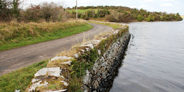
Image: © Albert Bridge Taken: 22 Nov 2010
See Image A similar view, at different state of the tide, as the Castle Island Road passes along the loughshore before heading inland to here Image In common with other parts of this area, the Google map for this square does not coincide with reality. The satellite photo is better.
Images are licensed for reuse under creativecommons.org/licenses/by-sa/2.0
Image Location
Latitude
54.362751
Longitude
-5.666008