Breamore: the mill
Introduction
The photograph on this page of Breamore: the mill by Chris Downer as part of the Geograph project.
The Geograph project started in 2005 with the aim of publishing, organising and preserving representative images for every square kilometre of Great Britain, Ireland and the Isle of Man.

There are currently over 7.5m images from over 14,400 individuals and you can help contribute to the project by visiting https://www.geograph.org.uk
Breamore: the mill
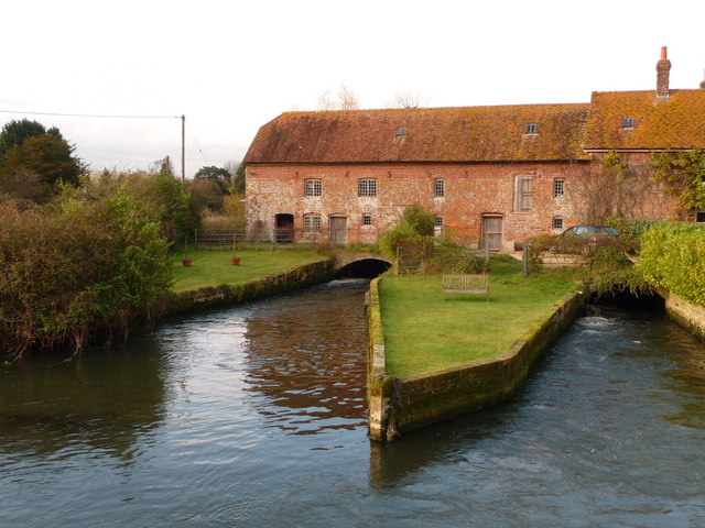
Image: © Chris Downer Taken: 21 Nov 2010
Now converted to residential, this substantial watermill straddles two of several channels of the River Avon
Images are licensed for reuse under creativecommons.org/licenses/by-sa/2.0
Image Location
Latitude
50.956612
Longitude
-1.769728