Junction along Mill Lane
Introduction
The photograph on this page of Junction along Mill Lane by andy as part of the Geograph project.
The Geograph project started in 2005 with the aim of publishing, organising and preserving representative images for every square kilometre of Great Britain, Ireland and the Isle of Man.

There are currently over 7.5m images from over 14,400 individuals and you can help contribute to the project by visiting https://www.geograph.org.uk
Junction along Mill Lane
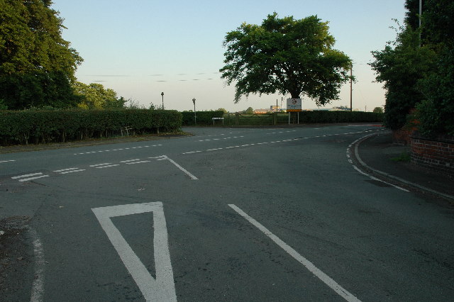
Image: © andy Taken: 26 Jun 2005
Junction with Mill Lane (left to right), Twyford Lane (behind me) and Mill Green Lane (centre). Rivendell Garden Centre is a couple of hundred metres to the right of the picture along Mill Lane.
Images are licensed for reuse under creativecommons.org/licenses/by-sa/2.0
Image Location
Latitude
53.390359
Longitude
-2.712945