St Andrews Hospital
Introduction
The photograph on this page of St Andrews Hospital by Burgess Von Thunen as part of the Geograph project.
The Geograph project started in 2005 with the aim of publishing, organising and preserving representative images for every square kilometre of Great Britain, Ireland and the Isle of Man.

There are currently over 7.5m images from over 14,400 individuals and you can help contribute to the project by visiting https://www.geograph.org.uk
St Andrews Hospital
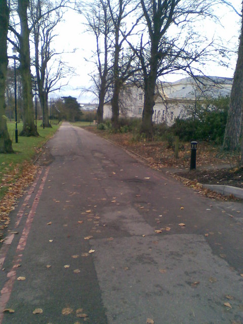
Image: © Burgess Von Thunen Taken: 12 Nov 2010
Looking down the hill towards the golf course club house. The hospital has just built a huge annexe in a neo-classical style on the right-hand side.
Images are licensed for reuse under creativecommons.org/licenses/by-sa/2.0
Image Location
Latitude
52.234898
Longitude
-0.874779