The Arterial Road
Introduction
The photograph on this page of The Arterial Road by terry joyce as part of the Geograph project.
The Geograph project started in 2005 with the aim of publishing, organising and preserving representative images for every square kilometre of Great Britain, Ireland and the Isle of Man.

There are currently over 7.5m images from over 14,400 individuals and you can help contribute to the project by visiting https://www.geograph.org.uk
The Arterial Road
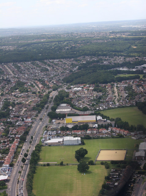
Image: © terry joyce Taken: 22 Jun 2008
The road is the A127. I was approximately overhead the junction of the A127 and A1015 Rayleigh Road, known as Kent Elms Corner.
Images are licensed for reuse under creativecommons.org/licenses/by-sa/2.0
Image Location
Latitude
51.562912
Longitude
0.657826