The Base of Lester Cliff : Combe Martin
Introduction
The photograph on this page of The Base of Lester Cliff : Combe Martin by Pam Brophy as part of the Geograph project.
The Geograph project started in 2005 with the aim of publishing, organising and preserving representative images for every square kilometre of Great Britain, Ireland and the Isle of Man.

There are currently over 7.5m images from over 14,400 individuals and you can help contribute to the project by visiting https://www.geograph.org.uk
The Base of Lester Cliff : Combe Martin
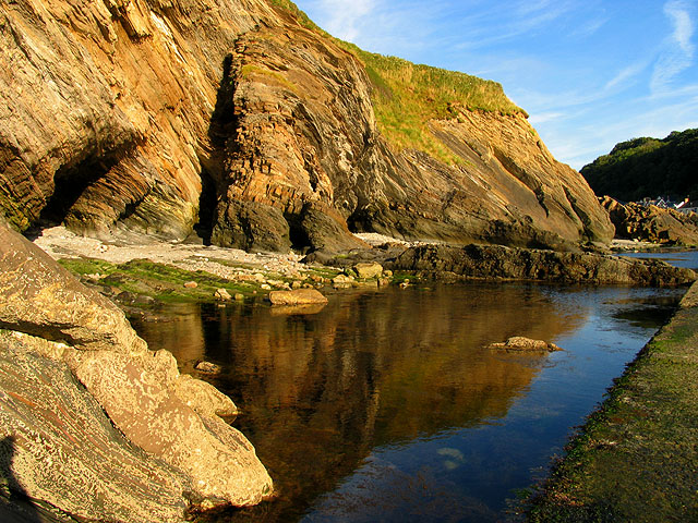
Image: © Pam Brophy Taken: 4 Aug 2006
Rocks at the base of Lester Cliff in the evening sun at Combe Martin.
Images are licensed for reuse under creativecommons.org/licenses/by-sa/2.0
Image Location
Latitude
51.206208
Longitude
-4.039832