Dartmouth Park: Chetwynd Road, NW5
Introduction
The photograph on this page of Dartmouth Park: Chetwynd Road, NW5 by Nigel Cox as part of the Geograph project.
The Geograph project started in 2005 with the aim of publishing, organising and preserving representative images for every square kilometre of Great Britain, Ireland and the Isle of Man.

There are currently over 7.5m images from over 14,400 individuals and you can help contribute to the project by visiting https://www.geograph.org.uk
Dartmouth Park: Chetwynd Road, NW5
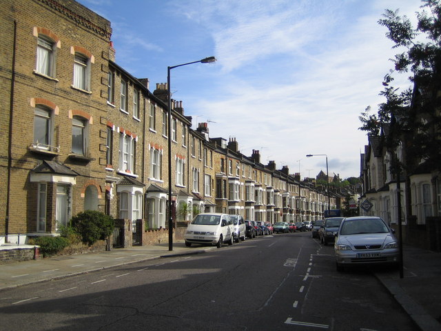
Image: © Nigel Cox Taken: 30 Jul 2006
Old Ordnance Survey maps show that Chetwynd Road, and its branch off to the south, Twisden Road, did not exist before 1872 but were complete by 1895. They were built over what appears on the map to have been the formal gardens of a large house, and post-date the housing on Dartmouth Park Road to the north.
Images are licensed for reuse under creativecommons.org/licenses/by-sa/2.0
Image Location
Latitude
51.55731
Longitude
-0.14492