Parkland near Birdsgreen
Introduction
The photograph on this page of Parkland near Birdsgreen by Stephen Richards as part of the Geograph project.
The Geograph project started in 2005 with the aim of publishing, organising and preserving representative images for every square kilometre of Great Britain, Ireland and the Isle of Man.

There are currently over 7.5m images from over 14,400 individuals and you can help contribute to the project by visiting https://www.geograph.org.uk
Parkland near Birdsgreen
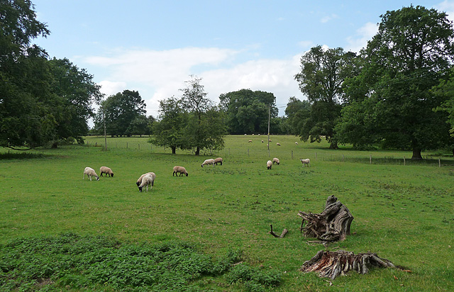
Image: © Stephen Richards Taken: Unknown
Former grounds of Coton Hall whose park stretched for more than half a mile by 1827.
Images are licensed for reuse under creativecommons.org/licenses/by-sa/2.0
Image Location
Latitude
52.475408
Longitude
-2.337251