Footpath junction near Summerhouse Hill
Introduction
The photograph on this page of Footpath junction near Summerhouse Hill by David Anstiss as part of the Geograph project.
The Geograph project started in 2005 with the aim of publishing, organising and preserving representative images for every square kilometre of Great Britain, Ireland and the Isle of Man.

There are currently over 7.5m images from over 14,400 individuals and you can help contribute to the project by visiting https://www.geograph.org.uk
Footpath junction near Summerhouse Hill
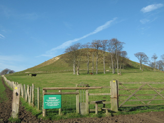
Image: © David Anstiss Taken: 19 Nov 2010
A footpath leads from Canterbury Road to Bluehouse Lane (byway) past the Hill (in the background). Another footpath heads right (in front of the stile) towards Beachborough House, or left to the A20 Ashford Road.
Images are licensed for reuse under creativecommons.org/licenses/by-sa/2.0
Image Location
Latitude
51.095895
Longitude
1.09832