Eastern section of Glasllwch Crescent, Newport
Introduction
The photograph on this page of Eastern section of Glasllwch Crescent, Newport by Jaggery as part of the Geograph project.
The Geograph project started in 2005 with the aim of publishing, organising and preserving representative images for every square kilometre of Great Britain, Ireland and the Isle of Man.

There are currently over 7.5m images from over 14,400 individuals and you can help contribute to the project by visiting https://www.geograph.org.uk
Eastern section of Glasllwch Crescent, Newport
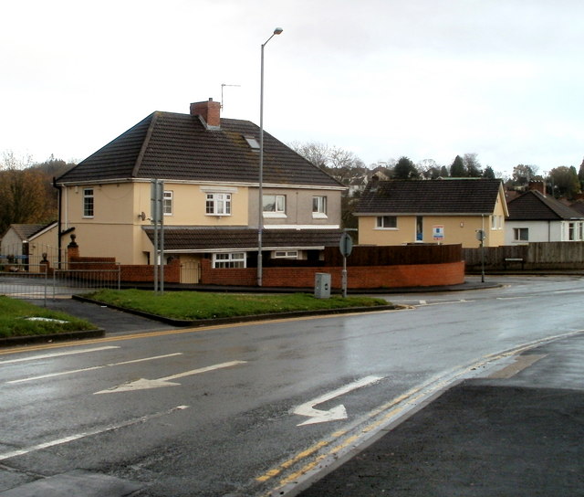
Image: © Jaggery Taken: 18 Nov 2010
Glasllwch Crescent is split in two by the course of the M4 motorway. These houses are at the western edge of the eastern section, adjacent to Brickyard Lane.
Images are licensed for reuse under creativecommons.org/licenses/by-sa/2.0
Image Location
Latitude
51.58359
Longitude
-3.03478