Manchester, Bolton & Bury Canal, Bridge 14
Introduction
The photograph on this page of Manchester, Bolton & Bury Canal, Bridge 14 by David Dixon as part of the Geograph project.
The Geograph project started in 2005 with the aim of publishing, organising and preserving representative images for every square kilometre of Great Britain, Ireland and the Isle of Man.

There are currently over 7.5m images from over 14,400 individuals and you can help contribute to the project by visiting https://www.geograph.org.uk
Manchester, Bolton & Bury Canal, Bridge 14
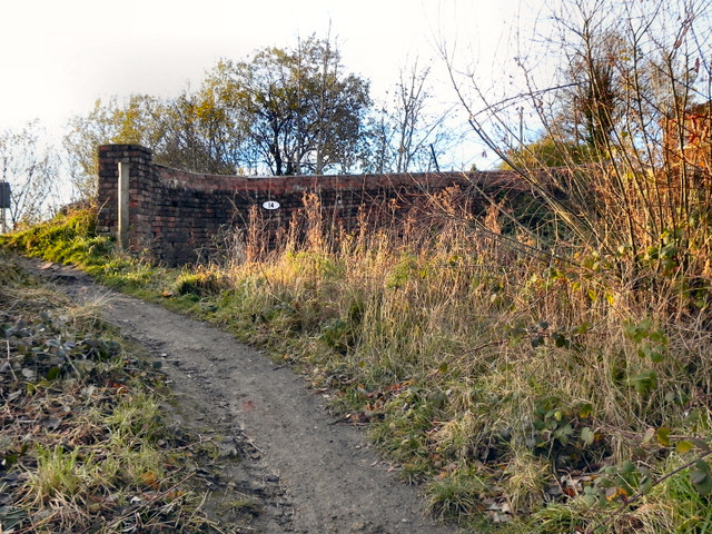
Image: © David Dixon Taken: 14 Nov 2010
The bridge over the canal at Nob End locks. The canal is mostly filled in on this side, so the bridge appears to be little more than a wall. There is water, however, on the other side as a small stretch of the Bolton arm of the canal still remains.
Images are licensed for reuse under creativecommons.org/licenses/by-sa/2.0
Image Location
Latitude
53.554457
Longitude
-2.374909