Road Junction Puriton
Introduction
The photograph on this page of Road Junction Puriton by Nigel Mykura as part of the Geograph project.
The Geograph project started in 2005 with the aim of publishing, organising and preserving representative images for every square kilometre of Great Britain, Ireland and the Isle of Man.

There are currently over 7.5m images from over 14,400 individuals and you can help contribute to the project by visiting https://www.geograph.org.uk
Road Junction Puriton
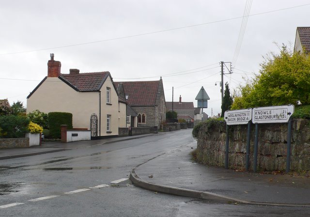
Image: © Nigel Mykura Taken: 17 Nov 2010
This junction with its old road signs in the centre of the village marks where the road south to the A39 leaves the road from Puriton to Woolavington.
Images are licensed for reuse under creativecommons.org/licenses/by-sa/2.0
Image Location
Latitude
51.168348
Longitude
-2.970962