Manchester, Bury & Bolton Canal; Nob End
Introduction
The photograph on this page of Manchester, Bury & Bolton Canal; Nob End by David Dixon as part of the Geograph project.
The Geograph project started in 2005 with the aim of publishing, organising and preserving representative images for every square kilometre of Great Britain, Ireland and the Isle of Man.

There are currently over 7.5m images from over 14,400 individuals and you can help contribute to the project by visiting https://www.geograph.org.uk
Manchester, Bury & Bolton Canal; Nob End
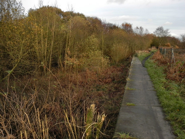
Image: © David Dixon Taken: 14 Nov 2010
The canal has been dry here since 1936 when it was breached and the water drained down the hillside into the River Irwell below.
Images are licensed for reuse under creativecommons.org/licenses/by-sa/2.0
Image Location
Latitude
53.554531
Longitude
-2.374155