Trood Lane, across the A379
Introduction
The photograph on this page of Trood Lane, across the A379 by David Smith as part of the Geograph project.
The Geograph project started in 2005 with the aim of publishing, organising and preserving representative images for every square kilometre of Great Britain, Ireland and the Isle of Man.

There are currently over 7.5m images from over 14,400 individuals and you can help contribute to the project by visiting https://www.geograph.org.uk
Trood Lane, across the A379
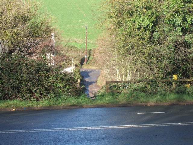
Image: © David Smith Taken: 17 Nov 2010
Trood Lane has been closed on the north so that there is no access from Dawlish Road (in the distance) to the A379 trunk road. The lane continues on the south side of the A379
Images are licensed for reuse under creativecommons.org/licenses/by-sa/2.0
Image Location
Latitude
50.691596
Longitude
-3.52244