Minor road climbing north-west from Blanchland
Introduction
The photograph on this page of Minor road climbing north-west from Blanchland by Trevor Littlewood as part of the Geograph project.
The Geograph project started in 2005 with the aim of publishing, organising and preserving representative images for every square kilometre of Great Britain, Ireland and the Isle of Man.

There are currently over 7.5m images from over 14,400 individuals and you can help contribute to the project by visiting https://www.geograph.org.uk
Minor road climbing north-west from Blanchland
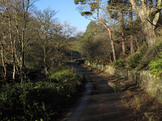
Image: © Trevor Littlewood Taken: 16 Nov 2010
The road climbs through the valley of the Shildon Burn, (which is visible to the left of the road), to pass the small settlement of Shildon beyond which it continues as a dirt road passing the farm at Pennypie House before going out on to heather moor as an estate road.
Images are licensed for reuse under creativecommons.org/licenses/by-sa/2.0
Image Location
Latitude
54.84965
Longitude
-2.057904