Cross fields to M6 Toll, near Wishaw
Introduction
The photograph on this page of Cross fields to M6 Toll, near Wishaw by Michael Westley as part of the Geograph project.
The Geograph project started in 2005 with the aim of publishing, organising and preserving representative images for every square kilometre of Great Britain, Ireland and the Isle of Man.

There are currently over 7.5m images from over 14,400 individuals and you can help contribute to the project by visiting https://www.geograph.org.uk
Cross fields to M6 Toll, near Wishaw
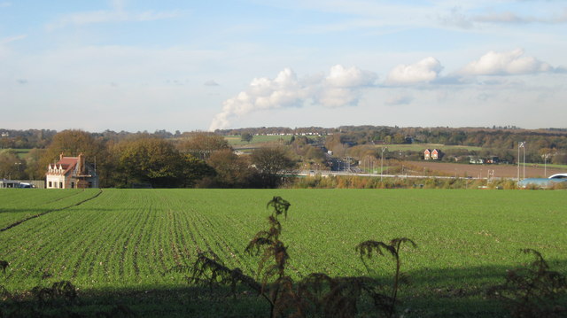
Image: © Michael Westley Taken: 15 Nov 2010
From Holley Lane, close to Lindridge Road, looking north-west towards M6 Toll road (J3) and New Park Woods beyond - you can just see booths on right of photo. Building on left is 'The Kennels'.
Images are licensed for reuse under creativecommons.org/licenses/by-sa/2.0
Image Location
Latitude
52.565741
Longitude
-1.7676