Benchmark on the Shore Road East Railway Bridge, Llanfairfechan
Introduction
The photograph on this page of Benchmark on the Shore Road East Railway Bridge, Llanfairfechan by Meirion as part of the Geograph project.
The Geograph project started in 2005 with the aim of publishing, organising and preserving representative images for every square kilometre of Great Britain, Ireland and the Isle of Man.

There are currently over 7.5m images from over 14,400 individuals and you can help contribute to the project by visiting https://www.geograph.org.uk
Benchmark on the Shore Road East Railway Bridge, Llanfairfechan
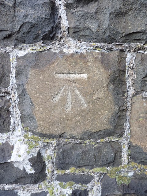
Image: © Meirion Taken: 8 Nov 2010
This benchmark is located on the railway bridge on Shore Road East in Llanfairfechan & it is shown in the current Ordnance Survey database at a height of 4.7823m above the Newlyn datum.
Images are licensed for reuse under creativecommons.org/licenses/by-sa/2.0
Image Location


Leaflet Map data © OpenStreetMap
Latitude
53.26005
Longitude
-3.973735