Stiles at Swingfield Radio Mast
Introduction
The photograph on this page of Stiles at Swingfield Radio Mast by David Anstiss as part of the Geograph project.
The Geograph project started in 2005 with the aim of publishing, organising and preserving representative images for every square kilometre of Great Britain, Ireland and the Isle of Man.

There are currently over 7.5m images from over 14,400 individuals and you can help contribute to the project by visiting https://www.geograph.org.uk
Stiles at Swingfield Radio Mast
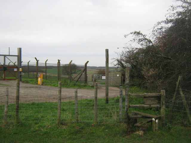
Image: © David Anstiss Taken: 13 Nov 2010
Three long distance paths lead from The Beaches (woodland) near Etchinghill, towards the Mast on Tolsford Hill, over an access road to the mast. The North Downs Way heads towards Postling Common. The Saxon Shore Way heads towards Bluehouse Lane and the A20. The Elham Valley Way heads towards Lyminge.
Images are licensed for reuse under creativecommons.org/licenses/by-sa/2.0
Image Location
Latitude
51.108012
Longitude
1.0857