Widewater lock 86
Introduction
The photograph on this page of Widewater lock 86 by Graham Horn as part of the Geograph project.
The Geograph project started in 2005 with the aim of publishing, organising and preserving representative images for every square kilometre of Great Britain, Ireland and the Isle of Man.

There are currently over 7.5m images from over 14,400 individuals and you can help contribute to the project by visiting https://www.geograph.org.uk
Widewater lock 86
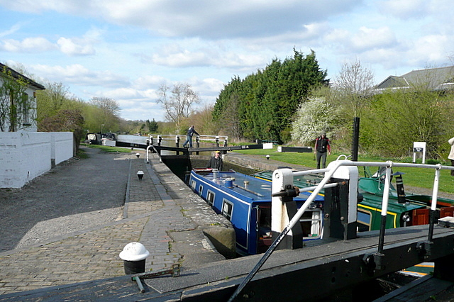
Image: © Graham Horn Taken: 11 Apr 2010
So called because below the lock the canal widens out in a natural basin.
Images are licensed for reuse under creativecommons.org/licenses/by-sa/2.0
Image Location
Latitude
51.588374
Longitude
-0.486065