Entrance to The Downs hamlet
Introduction
The photograph on this page of Entrance to The Downs hamlet by Jaggery as part of the Geograph project.
The Geograph project started in 2005 with the aim of publishing, organising and preserving representative images for every square kilometre of Great Britain, Ireland and the Isle of Man.

There are currently over 7.5m images from over 14,400 individuals and you can help contribute to the project by visiting https://www.geograph.org.uk
Entrance to The Downs hamlet
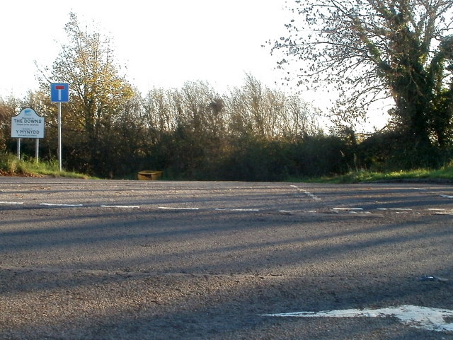
Image: © Jaggery Taken: 15 Nov 2010
Viewed across the A48. The Downs is a hamlet between St Nicholas to the west and to the east, Culverhouse Cross at the western edge of Cardiff. The Welsh name for the hamlet is Y Mynydd. Strangely, this view http://www.geograph.org.uk/photo/421554 of another part of the hamlet shows the Welsh form as Twyni.
Images are licensed for reuse under creativecommons.org/licenses/by-sa/2.0
Image Location
Latitude
51.46234
Longitude
-3.292583