East Greenock and Dumbarton
Introduction
The photograph on this page of East Greenock and Dumbarton by Thomas Nugent as part of the Geograph project.
The Geograph project started in 2005 with the aim of publishing, organising and preserving representative images for every square kilometre of Great Britain, Ireland and the Isle of Man.

There are currently over 7.5m images from over 14,400 individuals and you can help contribute to the project by visiting https://www.geograph.org.uk
East Greenock and Dumbarton
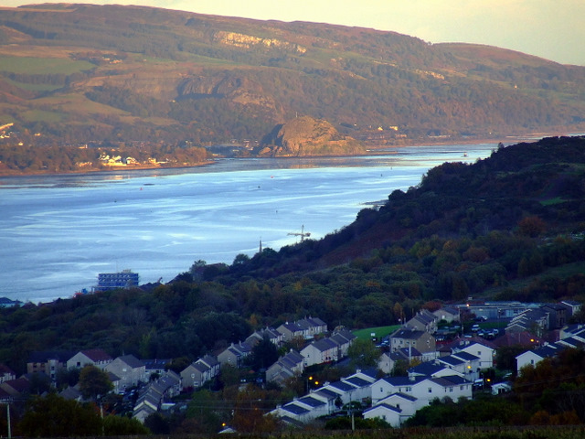
Image: © Thomas Nugent Taken: 23 Oct 2010
Viewed from the Old Largs Road at Whinhill golf course. The steeple of Port Glasgow town building is visible as is the crane at Ferguson's shipyard and a vessel under construction there.
Images are licensed for reuse under creativecommons.org/licenses/by-sa/2.0
Image Location
Latitude
55.936098
Longitude
-4.747814