Fields descending towards Derwent Reservoir
Introduction
The photograph on this page of Fields descending towards Derwent Reservoir by Trevor Littlewood as part of the Geograph project.
The Geograph project started in 2005 with the aim of publishing, organising and preserving representative images for every square kilometre of Great Britain, Ireland and the Isle of Man.

There are currently over 7.5m images from over 14,400 individuals and you can help contribute to the project by visiting https://www.geograph.org.uk
Fields descending towards Derwent Reservoir
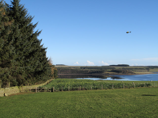
Image: © Trevor Littlewood Taken: 15 Nov 2010
The view downhill towards the reservoir is from the B6306. Hunter House Plantation lies to the left in this image and a helicopter flies through.
Images are licensed for reuse under creativecommons.org/licenses/by-sa/2.0
Image Location
Latitude
54.862514
Longitude
-1.991868