Converting Farm buildings
Introduction
The photograph on this page of Converting Farm buildings by Ant Basterfield as part of the Geograph project.
The Geograph project started in 2005 with the aim of publishing, organising and preserving representative images for every square kilometre of Great Britain, Ireland and the Isle of Man.

There are currently over 7.5m images from over 14,400 individuals and you can help contribute to the project by visiting https://www.geograph.org.uk
Converting Farm buildings
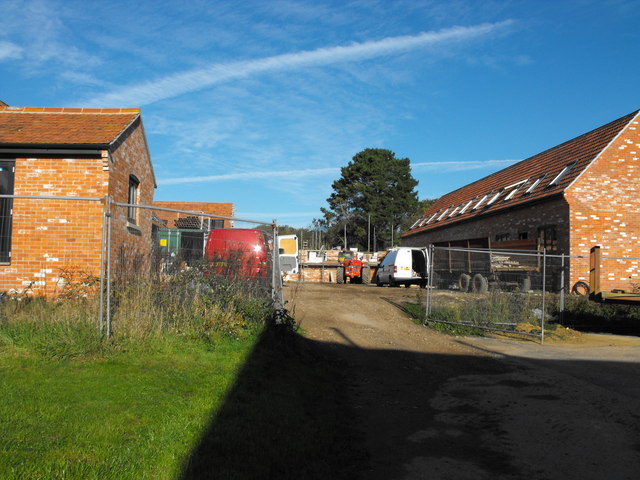
Image: © Ant Basterfield Taken: 25 Oct 2010
Here are some old farm building that are being converted for alternate dwelling use.
Images are licensed for reuse under creativecommons.org/licenses/by-sa/2.0
Image Location
Latitude
50.739625
Longitude
-2.898293