Milston Drove
Introduction
The photograph on this page of Milston Drove by Maigheach-gheal as part of the Geograph project.
The Geograph project started in 2005 with the aim of publishing, organising and preserving representative images for every square kilometre of Great Britain, Ireland and the Isle of Man.

There are currently over 7.5m images from over 14,400 individuals and you can help contribute to the project by visiting https://www.geograph.org.uk
Milston Drove
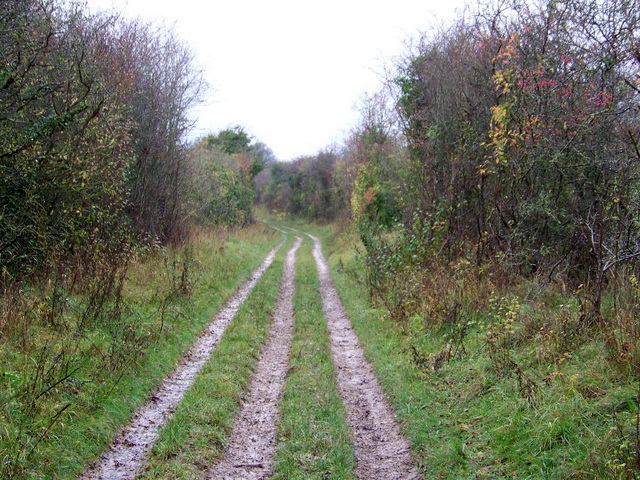
Image: © Maigheach-gheal Taken: 14 Nov 2010
The track, which is muddy and well used by all vehicles takes you towards Brigmerston Down.
Images are licensed for reuse under creativecommons.org/licenses/by-sa/2.0
Image Location
Latitude
51.224386
Longitude
-1.687489