Council Housing -Tong Court
Introduction
The photograph on this page of Council Housing -Tong Court by John M as part of the Geograph project.
The Geograph project started in 2005 with the aim of publishing, organising and preserving representative images for every square kilometre of Great Britain, Ireland and the Isle of Man.

There are currently over 7.5m images from over 14,400 individuals and you can help contribute to the project by visiting https://www.geograph.org.uk
Council Housing -Tong Court
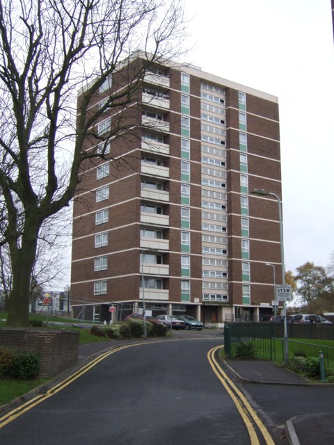
Image: © John M Taken: 14 Nov 2010
One of five blocks of flats on the 1960s Boscobel Estate.
Images are licensed for reuse under creativecommons.org/licenses/by-sa/2.0
Image Location
Latitude
52.594037
Longitude
-2.127946