Footpath along railbed, Govilon
Introduction
The photograph on this page of Footpath along railbed, Govilon by Jaggery as part of the Geograph project.
The Geograph project started in 2005 with the aim of publishing, organising and preserving representative images for every square kilometre of Great Britain, Ireland and the Isle of Man.

There are currently over 7.5m images from over 14,400 individuals and you can help contribute to the project by visiting https://www.geograph.org.uk
Footpath along railbed, Govilon
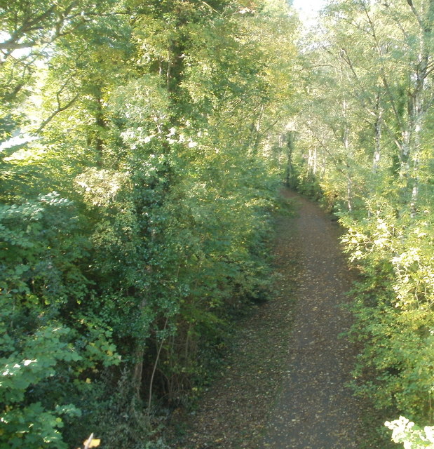
Image: © Jaggery Taken: 22 Oct 2010
Viewed from the bridge http://www.geograph.org.uk/photo/2159220 connecting Station Road and School Lane. The footpath heads west along the route of the Abergavenny to Merthyr Tydfil railway line. Govilon station was about 100 metres behind the camera. Passenger services ceased in 1958.
Images are licensed for reuse under creativecommons.org/licenses/by-sa/2.0
Image Location
Latitude
51.81525
Longitude
-3.070544