Field near Swingate
Introduction
The photograph on this page of Field near Swingate by Lynne Kirton as part of the Geograph project.
The Geograph project started in 2005 with the aim of publishing, organising and preserving representative images for every square kilometre of Great Britain, Ireland and the Isle of Man.

There are currently over 7.5m images from over 14,400 individuals and you can help contribute to the project by visiting https://www.geograph.org.uk
Field near Swingate
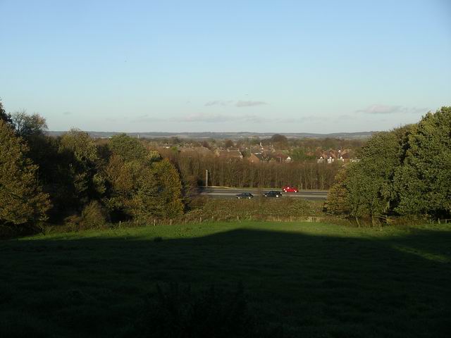
Image: © Lynne Kirton Taken: 13 Nov 2010
The field terminates below the embankment beside the A610, which here forms the Nuthall-Kimberley-Eastwood bypass. Beyond the road is part of Nuthall, and in the distance the hills of north Nottinghamshire.
Images are licensed for reuse under creativecommons.org/licenses/by-sa/2.0
Image Location
Latitude
52.992842
Longitude
-1.248204