Kenwyn Viaduct
Introduction
The photograph on this page of Kenwyn Viaduct by Tony Atkin as part of the Geograph project.
The Geograph project started in 2005 with the aim of publishing, organising and preserving representative images for every square kilometre of Great Britain, Ireland and the Isle of Man.

There are currently over 7.5m images from over 14,400 individuals and you can help contribute to the project by visiting https://www.geograph.org.uk
Kenwyn Viaduct
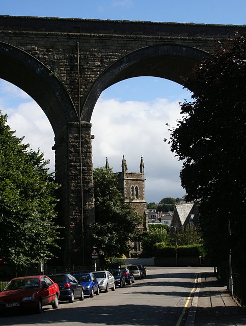
Image: © Tony Atkin Taken: 23 Jul 2006
This is one of the two high railway viaducts which cross the City of Truro. The church seen through the arches is St George's in the next grid square to the south.
Images are licensed for reuse under creativecommons.org/licenses/by-sa/2.0
Image Location
Latitude
50.264645
Longitude
-5.060191