Deserted houses, Langdon Hills
Introduction
The photograph on this page of Deserted houses, Langdon Hills by Robin Webster as part of the Geograph project.
The Geograph project started in 2005 with the aim of publishing, organising and preserving representative images for every square kilometre of Great Britain, Ireland and the Isle of Man.

There are currently over 7.5m images from over 14,400 individuals and you can help contribute to the project by visiting https://www.geograph.org.uk
Deserted houses, Langdon Hills
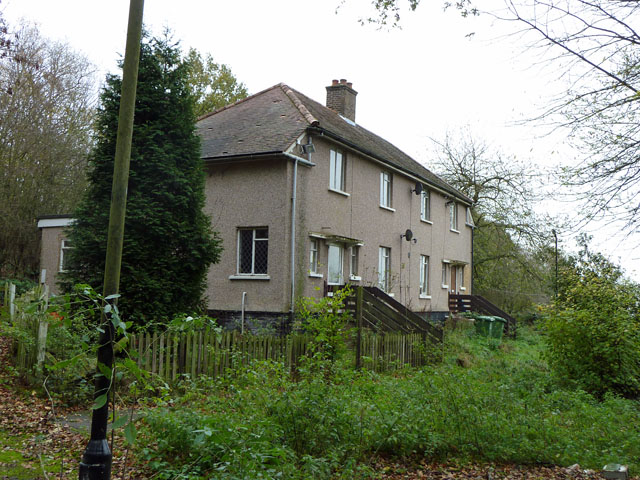
Image: © Robin Webster Taken: 13 Nov 2010
Not yet derelict, this pair of houses seem to have been deserted for at least one growing season. Remarkably, the short access lane from Dry Street is provided with street lamps, one of which leans in the foreground.
Images are licensed for reuse under creativecommons.org/licenses/by-sa/2.0
Image Location
Latitude
51.553022
Longitude
0.425278