Peterhead, Gadle Braes
Introduction
The photograph on this page of Peterhead, Gadle Braes by Ken Fitlike as part of the Geograph project.
The Geograph project started in 2005 with the aim of publishing, organising and preserving representative images for every square kilometre of Great Britain, Ireland and the Isle of Man.

There are currently over 7.5m images from over 14,400 individuals and you can help contribute to the project by visiting https://www.geograph.org.uk
Peterhead, Gadle Braes
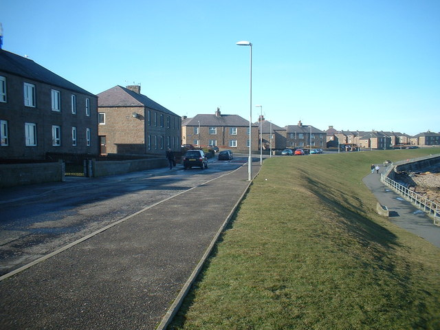
Image: © Ken Fitlike Taken: 2 Mar 2003
Post-war (WW2!) housing development along north-east area of Peterhead, which connected the 'town' with Buchanhaven.
Images are licensed for reuse under creativecommons.org/licenses/by-sa/2.0
Image Location


Leaflet Map data © OpenStreetMap
Latitude
57.5121
Longitude
-1.783003