Leicester North
Introduction
The photograph on this page of Leicester North by Ashley Dace as part of the Geograph project.
The Geograph project started in 2005 with the aim of publishing, organising and preserving representative images for every square kilometre of Great Britain, Ireland and the Isle of Man.

There are currently over 7.5m images from over 14,400 individuals and you can help contribute to the project by visiting https://www.geograph.org.uk
Leicester North
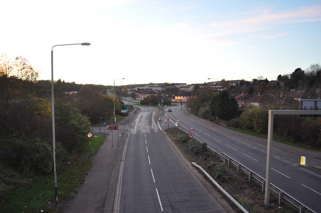
Image: © Ashley Dace Taken: 13 Nov 2010
The area in the foreground once hosted a massive embankment, taking the GCR railway into Leicester. The railway plans in the future to extend a mile to the space centre and Abbey pumping station. The embankment and a bridge will have to be built.
Images are licensed for reuse under creativecommons.org/licenses/by-sa/2.0
Image Location
Latitude
52.665295
Longitude
-1.134655