A259 at Winchelsea
Introduction
The photograph on this page of A259 at Winchelsea by Adam Colton as part of the Geograph project.
The Geograph project started in 2005 with the aim of publishing, organising and preserving representative images for every square kilometre of Great Britain, Ireland and the Isle of Man.

There are currently over 7.5m images from over 14,400 individuals and you can help contribute to the project by visiting https://www.geograph.org.uk
A259 at Winchelsea
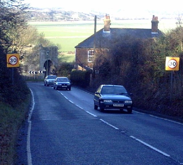
Image: © Adam Colton Taken: Unknown
The A259 used to go right through Winchelsea itself, a place reputed to be England's smallest town and perhaps even England's oldest new town, laid out in a grid pattern in the fourteenth century. Today the trunk road descends steeply to the stone 'Land Gate' - the slope shown here, and presents the driver with a dramatic hairpin-bend at the bottom. The valley in the background is that of the River Brede.
Images are licensed for reuse under creativecommons.org/licenses/by-sa/2.0
Image Location


Leaflet Map data © OpenStreetMap
Latitude
50.925498
Longitude
0.709268