Lancercombe Farm
Introduction
The photograph on this page of Lancercombe Farm by Anthony Vosper as part of the Geograph project.
The Geograph project started in 2005 with the aim of publishing, organising and preserving representative images for every square kilometre of Great Britain, Ireland and the Isle of Man.

There are currently over 7.5m images from over 14,400 individuals and you can help contribute to the project by visiting https://www.geograph.org.uk
Lancercombe Farm
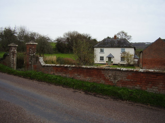
Image: © Anthony Vosper Taken: 13 Nov 2010
Once derelict this farm house has now been restored. It's a bit reminisce of the Play School house off television. Widows, 1, 2, 3, 4.
Images are licensed for reuse under creativecommons.org/licenses/by-sa/2.0
Image Location
Latitude
50.727878
Longitude
-3.279769