Pylons and power lines, Ballystrudder, Islandmagee (2)
Introduction
The photograph on this page of Pylons and power lines, Ballystrudder, Islandmagee (2) by Albert Bridge as part of the Geograph project.
The Geograph project started in 2005 with the aim of publishing, organising and preserving representative images for every square kilometre of Great Britain, Ireland and the Isle of Man.

There are currently over 7.5m images from over 14,400 individuals and you can help contribute to the project by visiting https://www.geograph.org.uk
Pylons and power lines, Ballystrudder, Islandmagee (2)
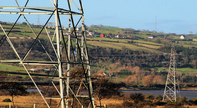
Image: © Albert Bridge Taken: 12 Nov 2010
The grid reference refers to the pylon on the right, close to Tommy Hill’s Point on Islandmagee. The line starts at Ballylumford Image and has no intermediate photographs (so far). It crosses Larne Lough and runs westwards. The pylon on the left is the one on the right in Image The view is from the Low Road.
Images are licensed for reuse under creativecommons.org/licenses/by-sa/2.0
Image Location
Latitude
54.785765
Longitude
-5.721298