Over The Top
Introduction
The photograph on this page of Over The Top by J Scott as part of the Geograph project.
The Geograph project started in 2005 with the aim of publishing, organising and preserving representative images for every square kilometre of Great Britain, Ireland and the Isle of Man.

There are currently over 7.5m images from over 14,400 individuals and you can help contribute to the project by visiting https://www.geograph.org.uk
Over The Top
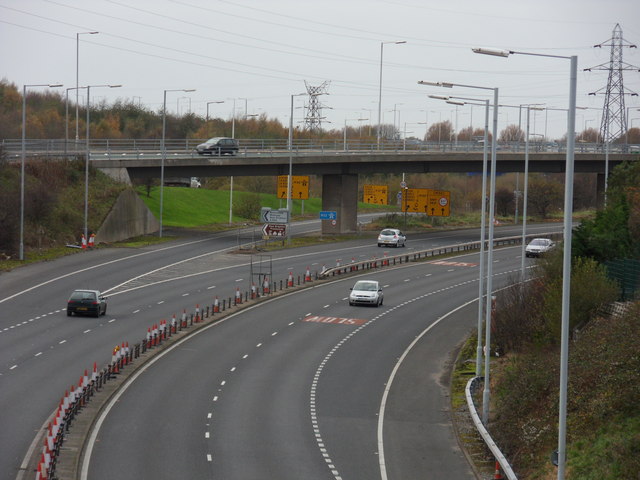
Image: © J Scott Taken: 12 Nov 2010
Kingsway Tunnel Approach goes beneath the Docks Link Road at Bidston Moss.
Images are licensed for reuse under creativecommons.org/licenses/by-sa/2.0
Image Location
Latitude
53.4139
Longitude
-3.05837