Oakwood Road
Introduction
The photograph on this page of Oakwood Road by Ian Capper as part of the Geograph project.
The Geograph project started in 2005 with the aim of publishing, organising and preserving representative images for every square kilometre of Great Britain, Ireland and the Isle of Man.

There are currently over 7.5m images from over 14,400 individuals and you can help contribute to the project by visiting https://www.geograph.org.uk
Oakwood Road
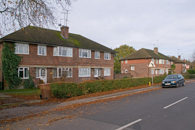
Image: © Ian Capper Taken: 7 Nov 2010
1950s maisonettes, one of a number of styles in a road whose development took place in stages from 1841 through to the 1980s.
Images are licensed for reuse under creativecommons.org/licenses/by-sa/2.0
Image Location
Latitude
51.176072
Longitude
-0.161979