Lexham Gardens, W8
Introduction
The photograph on this page of Lexham Gardens, W8 by Phillip Perry as part of the Geograph project.
The Geograph project started in 2005 with the aim of publishing, organising and preserving representative images for every square kilometre of Great Britain, Ireland and the Isle of Man.

There are currently over 7.5m images from over 14,400 individuals and you can help contribute to the project by visiting https://www.geograph.org.uk
Lexham Gardens, W8
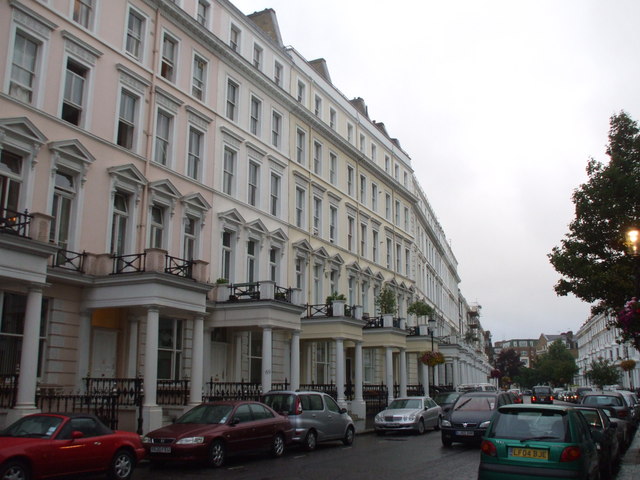
Image: © Phillip Perry Taken: 10 Aug 2010
In years gone by, this part of Kensington and Earl's Court were notoriously known as "Bedsitland". Now if the houses haven't been converted back to single occupancy use, they're converted into many flats.
Images are licensed for reuse under creativecommons.org/licenses/by-sa/2.0
Image Location
Latitude
51.496099
Longitude
-0.192787