Steps up to the trail
Introduction
The photograph on this page of Steps up to the trail by Jonathan Kington as part of the Geograph project.
The Geograph project started in 2005 with the aim of publishing, organising and preserving representative images for every square kilometre of Great Britain, Ireland and the Isle of Man.

There are currently over 7.5m images from over 14,400 individuals and you can help contribute to the project by visiting https://www.geograph.org.uk
Steps up to the trail
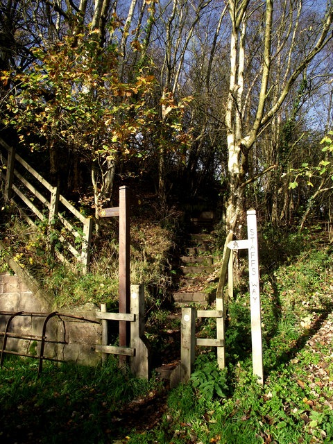
Image: © Jonathan Kington Taken: 10 Nov 2010
These steps, located next to where Image was taken, lead up to the Biddulph Valley Way. Based on a disused railway line, the Biddulph Valley Way is a popular trail used by walkers, cyclists and horse riders.
Images are licensed for reuse under creativecommons.org/licenses/by-sa/2.0
Image Location
Latitude
53.137669
Longitude
-2.171174