2010 : A4 Bath Road looking east
Introduction
The photograph on this page of 2010 : A4 Bath Road looking east by Maurice Pullin as part of the Geograph project.
The Geograph project started in 2005 with the aim of publishing, organising and preserving representative images for every square kilometre of Great Britain, Ireland and the Isle of Man.

There are currently over 7.5m images from over 14,400 individuals and you can help contribute to the project by visiting https://www.geograph.org.uk
2010 : A4 Bath Road looking east
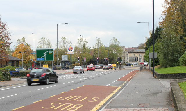
Image: © Maurice Pullin Taken: 7 Nov 2010
Between Totterdown and Brislinton. Bristol Spine Road, now St. Philip's Causeway, leaves to the left after the traffic lights, Bath Road goes right here to Brislington.
Images are licensed for reuse under creativecommons.org/licenses/by-sa/2.0
Image Location
Latitude
51.441958
Longitude
-2.560937