Crail High Street
Introduction
The photograph on this page of Crail High Street by Richard Webb as part of the Geograph project.
The Geograph project started in 2005 with the aim of publishing, organising and preserving representative images for every square kilometre of Great Britain, Ireland and the Isle of Man.

There are currently over 7.5m images from over 14,400 individuals and you can help contribute to the project by visiting https://www.geograph.org.uk
Crail High Street
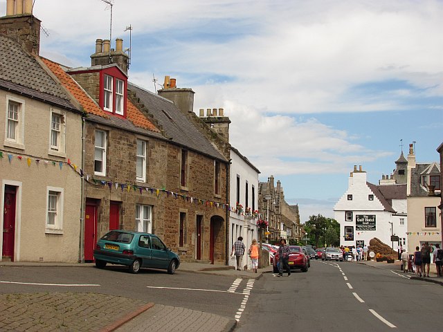
Image: © Richard Webb Taken: 3 Jul 2010
Looking along the High Street towards a sand sculpture outside the Golf Hotel.
Images are licensed for reuse under creativecommons.org/licenses/by-sa/2.0
Image Location
Latitude
56.25976
Longitude
-2.626932