Former Congregational Chapel, Odiham
Introduction
The photograph on this page of Former Congregational Chapel, Odiham by Michael FORD as part of the Geograph project.
The Geograph project started in 2005 with the aim of publishing, organising and preserving representative images for every square kilometre of Great Britain, Ireland and the Isle of Man.

There are currently over 7.5m images from over 14,400 individuals and you can help contribute to the project by visiting https://www.geograph.org.uk
Former Congregational Chapel, Odiham
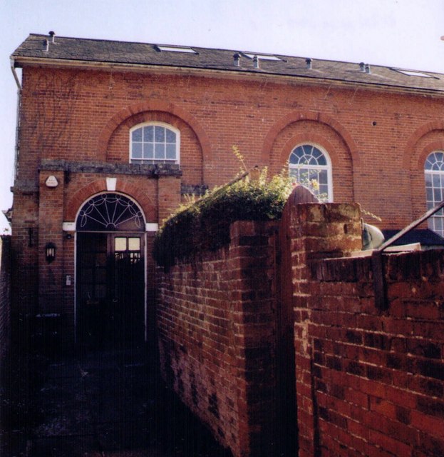
Image: © Michael FORD Taken: Unknown
Grade 2 listed building erected in 1794. Closed in 1958 and became All Saints Church Centre. Now used as a private residence.
Images are licensed for reuse under creativecommons.org/licenses/by-sa/2.0
Image Location
Latitude
51.25423
Longitude
-0.936136