Former railway embankment, Wealdstone
Introduction
The photograph on this page of Former railway embankment, Wealdstone by Malc McDonald as part of the Geograph project.
The Geograph project started in 2005 with the aim of publishing, organising and preserving representative images for every square kilometre of Great Britain, Ireland and the Isle of Man.

There are currently over 7.5m images from over 14,400 individuals and you can help contribute to the project by visiting https://www.geograph.org.uk
Former railway embankment, Wealdstone
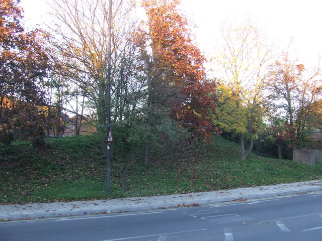
Image: © Malc McDonald Taken: 7 Nov 2010
The mound across the road once formed a railway embankment. The railway was a branch line running from Harrow & Wealdstone to Stanmore Village, which closed in 1964.
Images are licensed for reuse under creativecommons.org/licenses/by-sa/2.0
Image Location
Latitude
51.591307
Longitude
-0.324714