Looking down Castle Park Road, Newport
Introduction
The photograph on this page of Looking down Castle Park Road, Newport by Jaggery as part of the Geograph project.
The Geograph project started in 2005 with the aim of publishing, organising and preserving representative images for every square kilometre of Great Britain, Ireland and the Isle of Man.

There are currently over 7.5m images from over 14,400 individuals and you can help contribute to the project by visiting https://www.geograph.org.uk
Looking down Castle Park Road, Newport
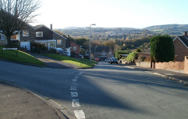
Image: © Jaggery Taken: 10 Nov 2010
The view down Castle Park Road towards the turning for Castle Park Close. The high ground in the distance is about 7 kilometres away.
Images are licensed for reuse under creativecommons.org/licenses/by-sa/2.0
Image Location
Latitude
51.57736
Longitude
-3.027423